3D survey method helps wildlife protection at world heritage location


KUNMING - Chinese researchers are using 3D satellite images to monitor and conserve biodiversity in the Three Parallel Rivers of Yunnan Protected Areas, a UNESCO world heritage site.
The new method is dubbed the "3D-map-based interview" survey. It is an effective tool to collect local knowledge on biological information over large areas that is then followed up with field investigation and data analysis, said Xiao Wen, head of the Institute of Eastern Himalaya Biodiversity Research at Dali University.
Based on 3D satellite images showing terrain information, interviewees point out the location of the rare wild animals they have observed. Records are made to obtain data of their distribution and population.
Researchers then make predictions and evaluations on the habitats of endangered species using remote sensing, and suggest protective measures.
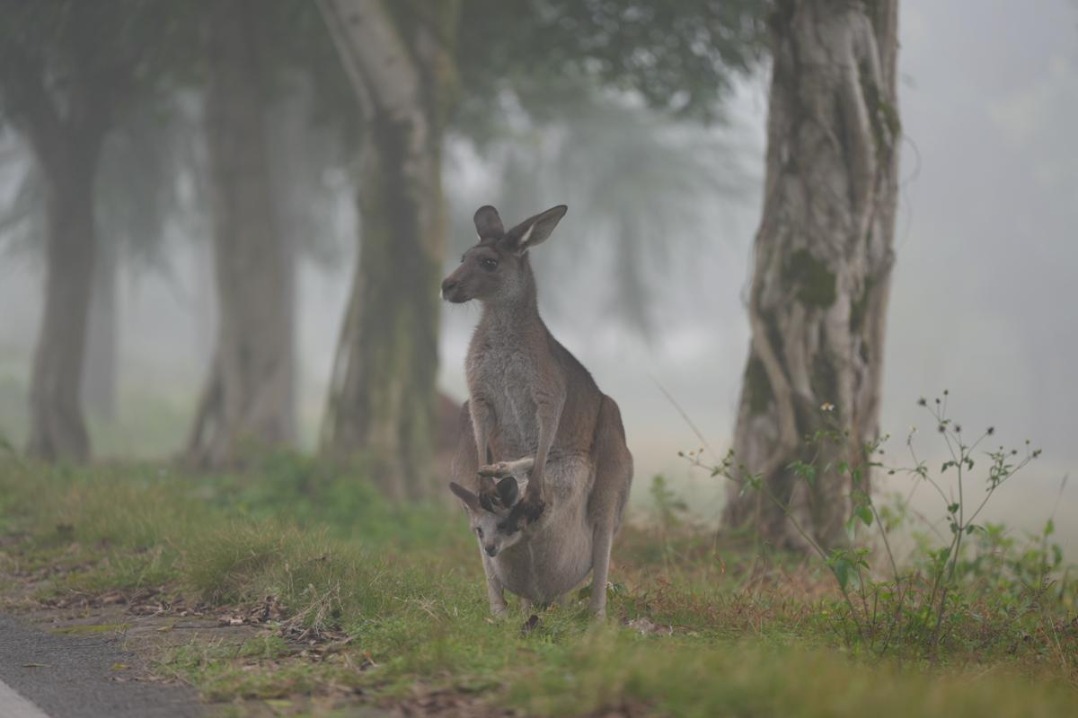
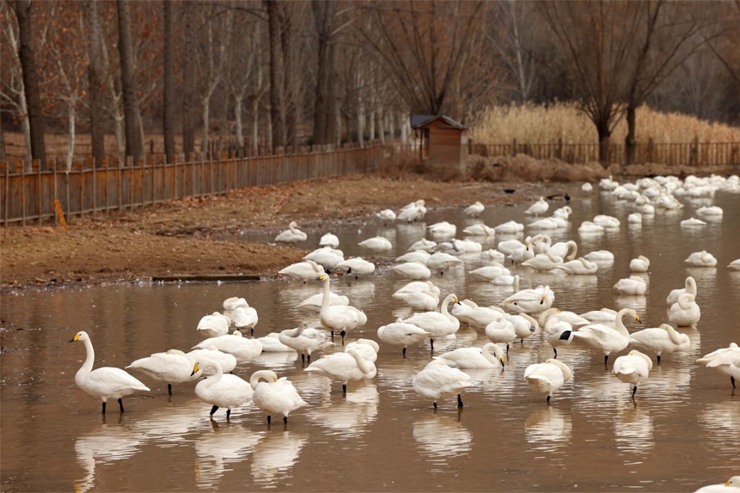
More than 30 large research projects have been carried out since 2016 in the Three Parallel Rivers of Yunnan Protected Areas to monitor and protect wild animals, including the Myanmar snub-nosed monkey, the Yunnan golden hair monkey, the snow leopard, and the Mishmi takin, an endangered goat-antelope.
A long-term ecological monitoring network has taken shape at the world heritage site.
Covering 1.7 million hectares, the Three Parallel Rivers of Yunnan Protected Areas feature sections of the upper reaches of three rivers that originate on the Qinghai-Tibet Plateau - the Jinsha, Lancang and Nujiang rivers.
Taking up less than 0.4 percent of China's territory, the site is home to more than a quarter of animal species in the country. It is an epicenter of Chinese biodiversity and one of the richest temperate regions in the world in terms of biodiversity.
The monitoring network also helps curtail poaching in the region as infrared cameras have been set up in key areas.
"It is necessary to have innovative technologies and research methods, and carry out long-term, systematic, in situ scientific monitoring," Xiao said.
Xinhua


- Ultra-cheap dress blind boxes spark health, quality concerns
- Chinese researchers find new treatment path for high-risk breast cancer
- China cracks down on organized crime involving minors
- Two Taiwan suspects wanted in mainland smuggling case
- Lhasa promotes initiative to foster a skilled workforce
- Beijing makes it easier for families to buy property