Chinese engineers make sci-fi drone mapping reality
By PENG CHAO in Chengdu |
chinadaily.com.cn |
Updated: 2025-03-13 16:41


Share


Share - WeChat


The drone features a spherical shell with a reinforced cage-like frame, allowing it to operate in high-risk environments such as municipal culverts and bridge-supported pipelines, the center said.
Equipped with the 3DAware? flight control system, the drone utilizes simultaneous localization and mapping technology to generate real-time 3D models of its surroundings, the center said. The Dimension I also carries a specially designed 4D-Aware software for video replay and 3D model inspection.


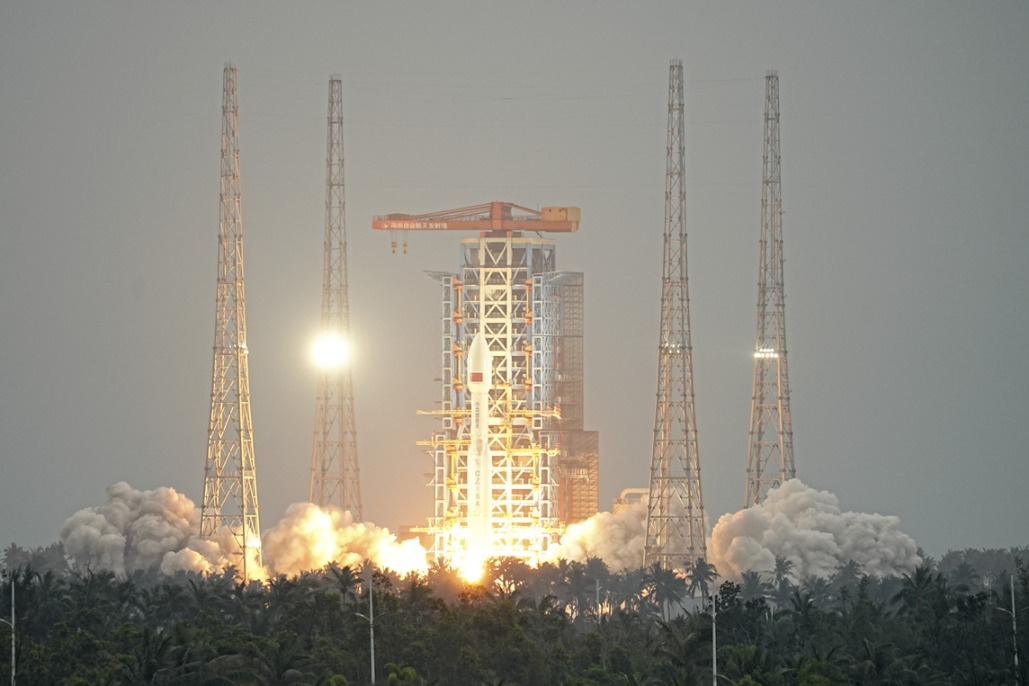
- China launches satellite to aid in early extreme weather detection
- Report on mining accident that killed 6 suggests accountability for 42 individuals
- Law aimed at bolstering standard Chinese language education passed
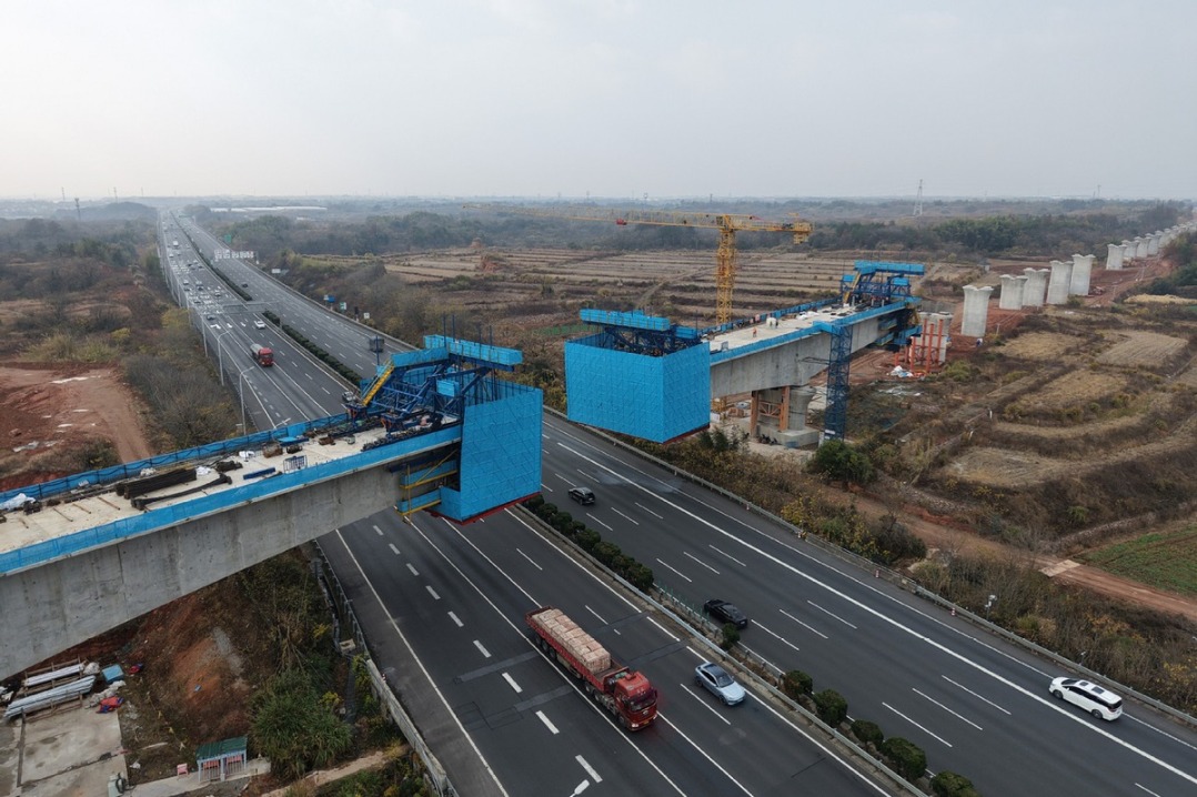
- Connecting cities, changing lives
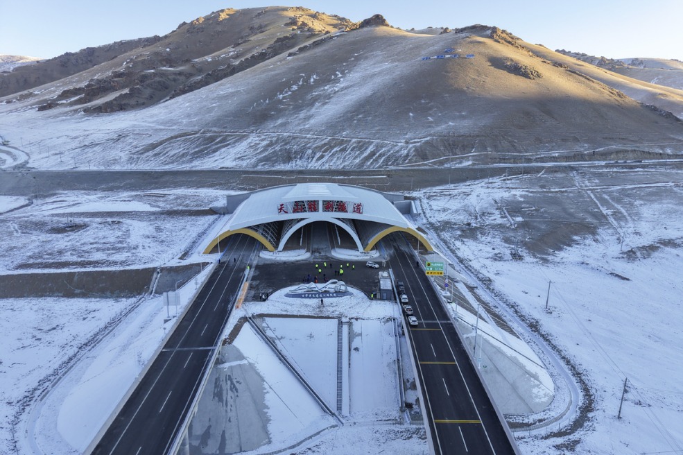
- World's longest expressway tunnel opens to traffic
- Taiwan lawmakers vote to pass motion to impeach Lai