Online photo exhibition of China in Development (1911-2011)
(CPC Encyclopedia)
Updated: 2011-09-16 16:52
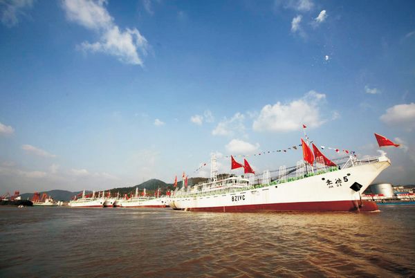
Squid-catching ships in Zhoushan, Zhejiang province, are seen here to set sail. [Photo/All-China Federation of Returned Overseas Chinese and China Intercontinental Press]
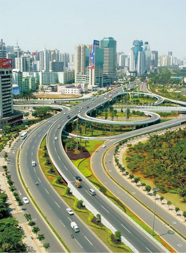
Binhai Overpass in Haikou city, Hainan Province. [Photo/All-China Federation of Returned Overseas Chinese and China Intercontinental Press]
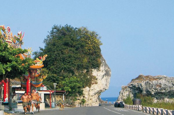
This picture shows a section of Taiwan Island's Round-the-Island Highway at Lamay Island of Taiwan, China.
Taiwan Island's Round-the-Island Highway begins at Keelong in the north, runs through Taipei, Hsinchu, Miaoli, Changhua, Tainan, Kaohsiung and so on, turns to Pingtung and arrives at Fongkang, then turns northeast, passes through the south part of the Central Mountains, and reaches Ilan through Taitung, Hualien and Su-Ao. From Ilan, it is divided into two lines, with one to Taipei and another to Keelong.
The 1,031 km highway runs around the island and connects with other roads, forming a network of highway for Taiwan Island. [Photo/All-China Federation of Returned Overseas Chinese and China Intercontinental Press]

Top News
Xi emphasizes adherence to CPC Congress spirit
Top legislator urges implementation of congress spirit
Moderately prosperous China brings chances to world
Video